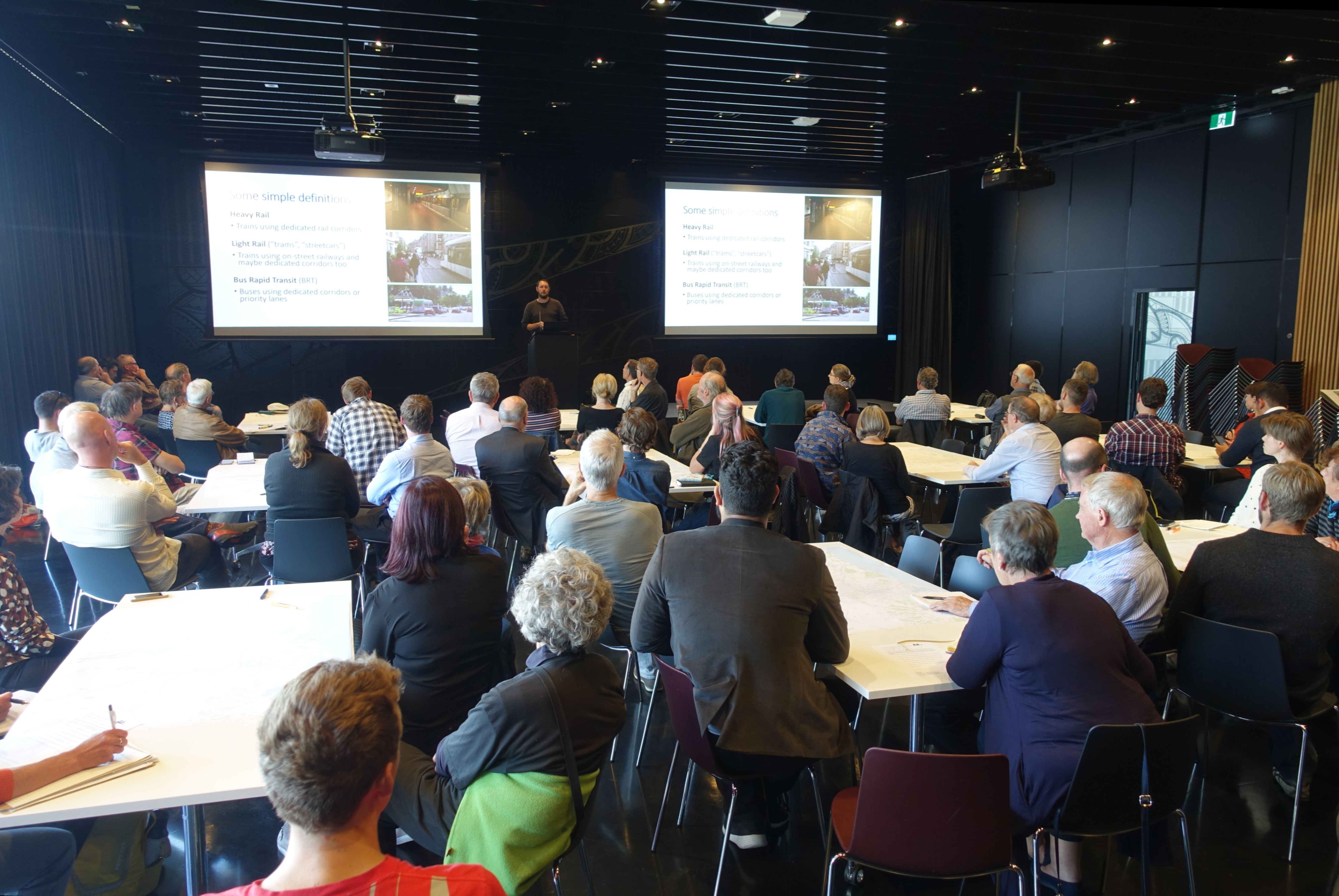
It’s been a while coming, but we’ve finally found enough time to go through all the maps, scribbles, and notesheets from our first workshop on Canterbury Passenger Rail on Monday, 25 February 2019 (some initial results were published here).
Around 60 people attended, and worked through a series of questions in 11 small groups. As well as writing answers to each question, groups were asked to draw their ideas on a map.
I’ll start with the maps. Groups were asked to draw on where they thought rail should go, along with where new housing/development could integrate with it. Below is a map attempting to combine all 11 maps people drew up. The number of lines each route has is the number of groups that drew that line. The red blobs are places people drew on stations and/or opportunities for intensive development. The redder the blob, the more groups that put it.
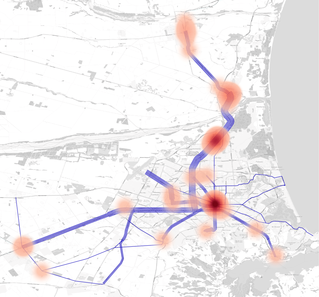
The results show that most groups gravitated towards the existing rail lines to Rolleston and Rangiora. Some stopped at the edge of the contiguous city (Islington and Belfast/Kaiapoi), while others went further. Fewer considered the line to Lyttelton an important route. The next most common route was the Airport to Central City via the University and Riccarton Road. Papanui Road to the northwest, Lincoln Road to the southwest, and Colombo Street to the south were also common routes. Interestingly 4 different groups thought the existing railway line to Prebbleton was worth operating, and 3 groups even said it should be extended to Lincoln.
People thought good hubs for stations and development/intensification were the city centre, Belfast, Kaiapoi, Rangiora, Rolleston, Papanui and Riccarton.
Each group was asked to answer the following questions. I’ve attempted to provide a general comment on the themes from the answers given.
- Should we use existing railway lines or build new ones?
Every group said use the existing railway lines, with some groups saying we can complement this with new lines as well. - Tram-trains (mixed lines) or separate systems (i.e. heavy and light rail)?
Very mixed answers on this. Several answers to the effect of “we need more information before we can say anything meaningful”. - Should we start with Bus Rapid Transit (BRT) corridors before doing rail there?
Again there were mixed answers. Some thought this was prudent, others raised issues with transitioning from BRT to rail. Some suggested this could be resolved through use of parallel corridors during construction. Some thought just securing the corridors was the most important thing to do now. - Should land-use guide transport choices or should transport guide land-use?
There was a general theme of people thinking transport should guide land-use more than what it does now. - Ultimately, where should rail go?
As per the map earlier. - Are there opportunities for staging certain corridors (i.e. building piece by piece)?
Most didn’t answer this question, one group simply said “obviously”. One group said we could build park-n-ride initially. - What would be your priority order for construction of corridors? How soon?
Mixed ideas. Some thought concentrate on the city first, expanding to satellite towns later. Others thought go to Rangiora and Rolleston as the first step, and only later progressively build up the city network. - Any other thoughts?
Rail through Hagley Park in grass/glass/water.
Build an O-Bahn (guided busway)
Lots of calls for higher-density development integrated with rail corridors
Inner orbiter bus looping around the 4 Avenues
Build stations that can be dismantled and moved around in future
Demand-responsive buses feeding trains
Some mentions of integrating the tourist trams
The Wordcloud below is an attempt to convey a feel for the discussions had (most commonly used words across all the questions).
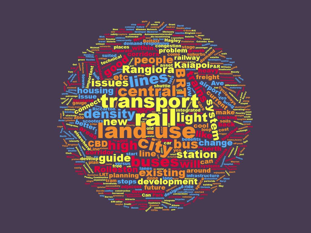
I think it’s good that “land-use” and “density” are right up there amongst the most common words. Most people in the room had a good understanding that getting rail to work successfully will require significant land-use changes to what we have now.
There were a lot of comments I couldn’t fit into this summary. The full results are saved here if anyone wants to go through in more detail.
We are holding a second workshop on Monday, 25 March at Turanga. We will be trying to work through what people see as the key problems and benefits that rail addresses. We will also have the Minister of Housing and Transport, the Hon Phil Twyford skyping in to explain to us some of the mechanics for how this could be implemented.
Hope to see you there!

2 thoughts on “Results from Workshop 1 on Passenger Rail in Canterbury”